ES W2W Correlation
Better way to understand insights of subsurface solutions
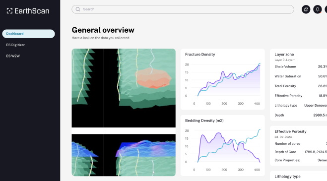
ES Well-to-Well correlation provides a clean correlation visualization to display well logs, stratigraphy images, grid data, and even completions and simulation results, which can be played through time. Users can geosteer horizontal and highly deviated wells in real-time.
ES Well-to-Well creates high-resolution 3D subsurface images where users can interactively integrate new data.
- 01
Bring your own data
The system is designed to accommodate various data formats and sources. Users can bring their own data, whether it's in the form of structured databases, unstructured data format, or sensor data. The flexibility enables users to leverage their proprietary data or industry-specific datasets, incorporating them into the analysis seamlessly.
- 02
State-of-the-art AI models
AI models are designed to process and analyze large volumes of data at remarkable speeds. These models leverage parallel processing capabilities and optimized algorithms, allowing for rapid analysis and interpretation of complex datasets. Models can provide more accurate and reliable interpretations, minimizing the risk of human error and bias.
- 03
Identify reservoir sweet-spot
Through our continuous research, we refine and develop advanced AI algorithms specifically tailored for reservoir characterization. These algorithms leverage machine learning, deep learning, and data mining techniques to analyze complex reservoir data. The key area where ES W2W excels is in identifying sweet spots within reservoirs.
- 04
On-premise / Cloud deployment
Regardless of the deployment model, our solutions are designed to integrate with existing data ecosystems. Whether deployed on-premise or on the cloud, our solutions are built to scale seamlessly. They can handle large volumes of data and efficiently distribute computing resources to deliver optimal performance.
- 05
Enhanced 3D visualization
3D visualization capabilities incorporate state-of-the-art technology, drawing inspiration from advancements in gaming, manufacturing, and retail industries. The technology has pushed the boundaries of visual realism and interactivity, and we create compelling and engaging sub-surface visualizations. By utilizing cutting-edge rendering algorithms, graphical processing units (GPUs), and virtual reality (VR) or augmented reality (AR) technologies, we deliver an immersive and interactive experience for users.
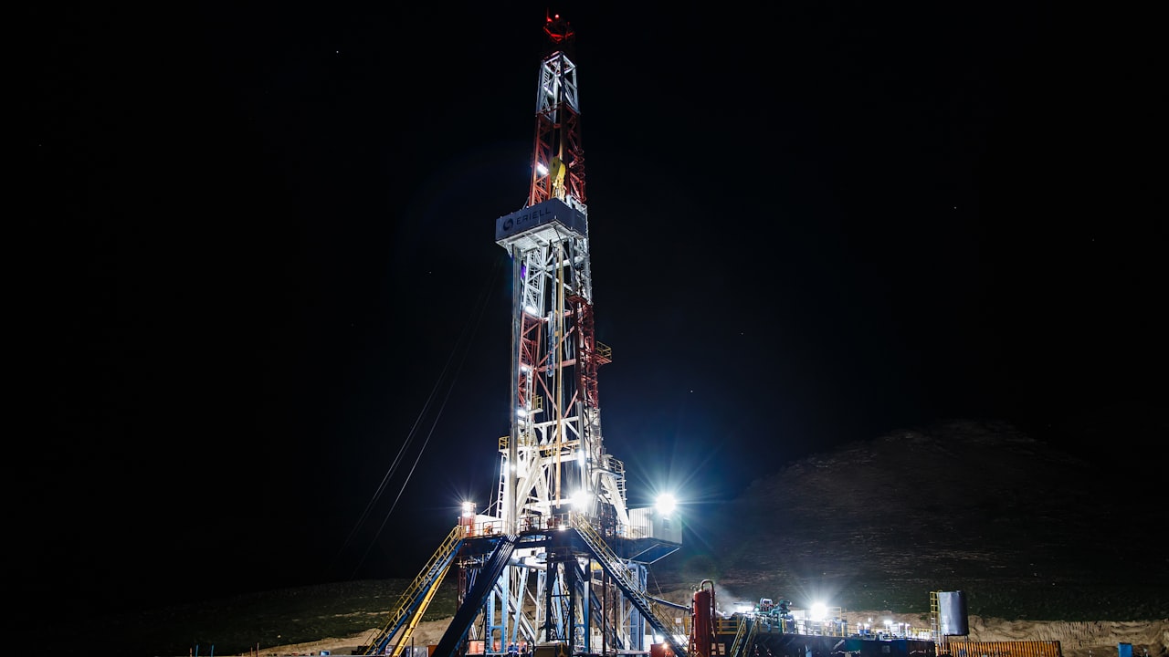
Transforming noisy curves into instant insights
- 01
Real-Time Geosteering: Accurately Navigating Horizontal and Deviated Wells
Geosteer horizontal and highly deviated wells in real time.
- 02
Refine Well Interpretation with Real-Time 3D Visualization
Automatically or manually pick and edit well tops on the cross section in interpretation and intersection windows and see the effects directly in 3D
- 03
Unleash Your Well Log Potential: Edit or Generate Logs with Ease Using Interactive Tools
Edit existing logs or generate new ones from any number of curves by using the powerful well log calculator, log editor, or interactive log conditioning toolbar
- 04
Seamless Integration Made Easy
Seamlessly integrated API into any existing software, it means that it is built to work with different programming languages and software frameworks, making it versatile and flexible for different software needs. This type of API is particularly useful for companies and organizations that use multiple software systems and want to ensure seamless communication between them. By using an API to integrate different software systems, companies can save time and resources, improve data accuracy, and streamline their workflows.